


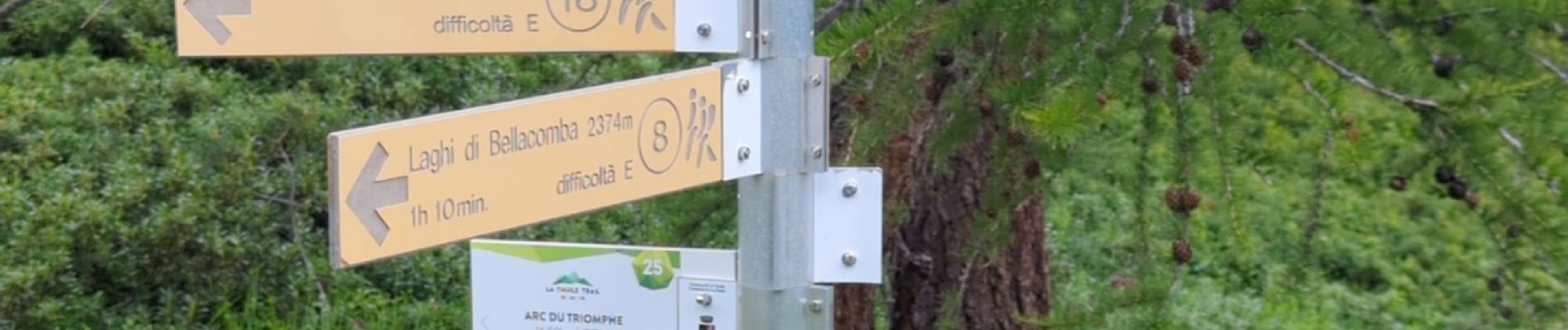
laghi Di bellacomba

i20
User
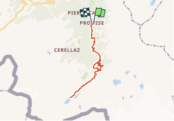

Length
15 km

Max alt
2415 m

Uphill gradient
965 m
Km-Effort
28 km

Min alt
1513 m

Downhill gradient
967 m
Boucle
Yes
Creation date :
2024-08-15 09:18:01.283
Updated on :
2024-08-15 15:58:11.476
6h15
Difficulty : Difficult

FREE GPS app for hiking
 SityTrail
IGN / Geographical institutes
SityTrail Plus
The world is yours!
About
Trail Walking of 15 km to be discovered at Aosta Valley, Unknown, La Thuile. This trail is proposed by i20.
Photos


Positioning
Country:
Italy
Region :
Aosta Valley
Department/Province :
Unknown
Municipality :
La Thuile
Location:
Unknown
Start:(Dec)
Start:(UTM)
341327 ; 5062439 (32T) N.
Comments